
Trace a Vestal Street by Address
A Vestal address trail begins in the Broome GIS Portal, where the municipality must be set to Town of Vestal. The parcel address is the first anchor, but the portal also accepts an owner name, parcel ID, or old ID number. Save the street form and parcel ID exactly as returned. Those details connect the map result to tax sheets and later to recorded instruments. The route can identify a tax-owner lead and a property history. It cannot verify every person living at an address. A current mailing address may belong to an owner, agent, trust, executor, or another destination for tax correspondence.
- Choose Town of Vestal and use the parcel-address mode. Keep the situs address, parcel ID, and map reference together.
- Open the parcel map and tax-map context. Compare lot edges and the surrounding street before treating a near match as the same parcel.
- Use the County Clerk’s SearchIQS route to locate recorded instruments under the identified parties, then preserve the legal-description links and document identifiers shown in the live result.
- Use the personal NYS Voter Lookup only for its documented individual lookup purpose. It requires identifying information and is not a public street-by-street voter list.
- For an older household question, ask the Broome County Local History & Genealogy Center whether a relevant city or reverse directory volume exists before relying on one.
For a pre-1935 deed connection, leave the web index and contact or visit the Broome County Clerk’s public-records counter for grantor/grantee index, book/page, or map assistance. The Clerk holds documents back to 1806, but its published online land coverage starts in 1935. That cutoff changes the method, not the existence of older records.
Vestal Street Directory Search Fields
Broome GIS keeps the street-directory search tied to a parcel instead of a household roster. Its single search box accepts a full or partial value, although the live interface requires at least three characters. A broad street search can return more than the portal displays, because results above 999 are limited to the first 1,000 records. Narrowing by municipality and a more complete street form is therefore important. The search keys are different tools, not interchangeable evidence: an owner name is a tax-record lead, while a parcel address identifies the physical site.
| Portal field | Format | Required | Vestal street use |
|---|---|---|---|
| Municipality | Dropdown | Yes in practice | Select Town of Vestal. |
| Enter Full or Partial ID, Name, or Address | Text | Yes | Enter a full or partial value of at least three characters. |
| Parcel ID Number | Search mode | One mode | Use the tax-map parcel identifier. |
| Owner Name | Search mode | One mode | Find tax-owner record candidates. |
| Parcel Address | Search mode | One mode | Start a street or situs-address trail. |
| Old ID Number | Search mode | One mode | Bridge an earlier parcel identifier to current mapping. |
Broome County Parcel Mapper supplies the map view used beside the Vestal street-directory search.
The viewer supplies parcel geometry, nearby map context, aerial imagery, and tax-map context, while the live field set should always be checked before treating a display as complete.
Vestal Streets and Parcel Records
Each address-keyed source answers a limited street question. The parcel search and mapper establish where a parcel lies and which tax-owner fields are displayed. The Vestal Assessor maintains the final assessment roll and administers exemptions, while the Clerk preserves the recorded document chain. Town code, planning, and permit material can add a dated project clue when an existing record is requested. The local-history Center adds older maps, census film, newspapers, obituaries, and possible directory leads. None of these sources is a verified household roster.
| Address-keyed source | Street question | Access path | Important limit |
|---|---|---|---|
| Broome Parcel Search | Which parcels match a street or address | Public GIS Portal | No ZIP filter or household browse mode is documented. |
| Parcel Mapper and tax maps | Where parcel edges and nearby lots lie | Public viewer and PDFs | Map context, not a residents list. |
| Vestal assessment roll | Taxed property, value, and exemption administration | Town Assessor and GIS lead | A tax record does not establish occupancy. |
| Recorded deeds and maps | Who held a recorded interest and when | SearchIQS or Clerk counter | Online land index begins in 1935; ownership is not occupancy. |
| Code and planning files | Existing project or permit history | Town forms, counter, or focused FOIL request | No public address-query portal was verified. |
| BCPL local history | Older map, census, newspaper, and directory leads | Center request or on-site work | Exact Vestal reverse-directory runs remain unverified. |
The parcel ID is the useful bridge. Record it before moving from a street form to a deed, because a legal description or tax-map reference can survive changes in spelling, number format, or parcel configuration. Note: A displayed owner or correspondence address should be treated as a record lead, not as proof of everyone at the location.
Vestal Street Directory Field Results
Inspection of three public Town-owned parcel results showed a consistent, useful field structure. Results displayed primary and secondary owner names, parcel ID, situs street/address and ZIP, municipality, mailing-address components, acreage, land-use label, latitude, longitude, SWISID, and tax-map name. Parcel Details, GIS Map, Tax Map, Bird’s Eye, and StreetView links were also supplied. Assessment value, exemption, and improvement fields were not part of that inspected result inventory, so verify those fields in the assessment record rather than assuming they appear in every GIS result.
- Parcel
- A mapped unit of land identified by a tax-map or parcel ID.
- Situs address
- The physical location of the parcel. It is the address used by the GIS parcel search.
- Plat or tax map
- A mapped lot and boundary reference that helps carry an address trail across changed street forms.
- Criss-cross directory
- A possible address-order directory volume. BCPL must confirm whether a relevant Vestal or metro-area volume exists.
Save the parcel ID and SWISID with the situs address. A tax mailing address is where correspondence is sent. It may not be the owner’s home and it does not identify a resident. The legal description, parcel ID, lot reference, and recorded instrument references are safer links between a street address and documents held by the Clerk.
A Vestal Street’s Deed Chain
The Broome County Clerk processes and stores deeds, mortgages, judgments, liens, maps, civil actions, criminal files, and other public documents. For an address trail, start with the GIS parcel ID and the latest owner or document lead. In the Clerk index, capture the parties, recording date, document type, book/page or instrument number, and legal-description references shown in the actual result. Then follow an earlier grantor as a possible grantee in a prior conveyance while matching the parcel or legal description. A matching surname alone is not enough.
The Clerk describes records holdings from 1806 and online land records from 1935. That is a practical comparison between two access routes: online searching can begin a modern chain, while a deeper title question may require the public counter and its older index books. Historic fees and subscriptions noted in prior County materials should be confirmed with the Clerk before ordering or downloading anything. The street directory remains focused on the address chain; historical printed volumes are better handled through the Vestal city directory collections.
Vestal Streets, GIS, and Voter Lookup
The Old ID Number mode is a Vestal street-directory advantage when an older record cites a parcel identifier that does not match the current form. Use it alongside tax sheets and the legal description, not as a shortcut around confirmation. It is especially helpful when a historic map, assessment reference, or recorded document uses an earlier identifier. Broome GIS also maintains 911 addresses and tax mapping, so it is the right county resource for a physical-address or map question.
GIS and voter lookup serve different questions. GIS permits owner, address, parcel ID, and old-ID searching after selecting Vestal. The state voter tool is a personal lookup requiring identifying details, including name, date of birth, county, and address. It returns voter and polling-place information for that use; it does not create a public browseable street roll. The Broome County Board of Elections is the proper custodian for its own record-request conditions, not the general county FOIL office.
Vestal Street Directory Map Sheets
When a street name or number does not line up cleanly, the Broome GIS Map Library supplies three useful layers of continuity: 18 Town of Vestal tax-map sheets, the 97-page 1876 Atlas, and the 95-page 1908 Plat Book. The historic volumes show lot and landowner context, not a modern resident list. Pair them with the current parcel ID, tax sheet, deed legal description, and a dated census or newspaper source before deciding that two address forms refer to the same place.
Broome GIS Map Library lists the Vestal historic-map resources used for this address context.
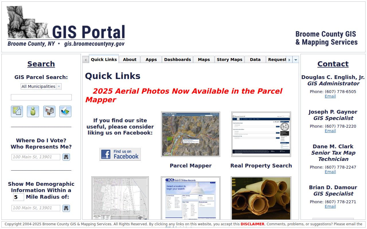
The atlas, plat-book, and tax-sheet listings make it possible to test old lot language against current parcel mapping without treating a map label as proof of residence.
Vestal Street Permit Leads
Vestal does not present a verified public permit-by-address search in the material reviewed. It does publish residential and commercial building-permit and code forms, zoning and inspection information, and Planning Board material. For an existing record, send a narrow request to Code Enforcement that states the street number, street name, document type, and approximate date range. Ask for existing electronic records when that is the form sought. This is more reliable than inferring a construction or occupancy history from a map image.
Town records may be requested through the Town’s records-access channel under New York FOIL, subject to exemptions and privacy rules. The county’s general FOIL office expressly excludes County Clerk and Board of Elections records, so send those requests to their own custodians. Note: A precise address and date range help the receiving office locate an existing file without turning a request into a request for a new compilation.
Vestal Addresses and Postal Labels
Postal labels should not replace the parcel map in a Vestal street search. The standard town postal pattern is 13850, but Binghamton University’s physical main campus is in Vestal with a 13850 visitor address while campus mail uses Binghamton 13902. A 13902 mailing line can therefore point to a physical location on Vestal Parkway East. For a property or historic-address question, use Town of Vestal and the physical street address in GIS, then preserve the parcel ID and legal description.
Broome GIS, rather than USPS, assigns 911 addresses and maintains the tax-mapping framework used for parcel research. The distinction protects against a false Binghamton-versus-Vestal split and against treating a mailing city as municipal jurisdiction. It also explains why an address string in an old record may need map and parcel confirmation.
Limits of a Vestal Street Directory
A Vestal street directory can connect a physical parcel to tax-owner fields, recorded property interests, map context, and older research leads. It cannot supply a verified list of renters, all household members, utility customers, delivery recipients, DMV addresses, or protected residents. A property owner is not automatically the current occupant, and a tax mailing address is not a finding about who resides at the situs address. Court and vital records have separate restrictions, and New York’s Address Confidentiality Program uses substitute addresses for participants.
Lawful use. Use address records for lawful personal research and civic or family-history questions. Do not use an address trail to stalk, harass, intimidate, or harm another person.
The clearest result is often a well-documented uncertainty: a parcel can be identified, a deed can be traced, and an old directory volume can be requested, while present household membership remains unverified. That boundary protects both the record trail and the people it may concern.