
Vestal Previous Residents by Era
A solid Vestal previous-residents search starts by matching each source to the period it can actually support. A recorded deed shows a property interest, not every person who stayed in the house. Census and newspaper material can add a household layer, but it must be tied back to the address, parcel, and date. Broome County keeps recorded documents from 1806, yet its online land-record path begins in 1935. Historic maps, the Local History Center, and the Clerk counter therefore become more important as the trail moves backward.
| Evidence source | Time covered | Custodian or channel | Address-history use |
|---|---|---|---|
| Broome County Clerk holdings | From 1806 | County Clerk public-records counter | Recorded deeds, mortgages, liens, maps, and other documents. |
| Online land-record index | From 1935 | Clerk-linked SearchIQS service | Modern document lead; confirm live access and image options. |
| 1876 Atlas and 1908 Plat Book | 1876 and 1908 | Broome GIS Map Library | Historic lot, map, and landowner context. |
| Broome census holdings | 1810 through 1930 listed | BCPL Local History & Genealogy Center | Federal and New York census household research. |
| Local newspaper microfilm | Title-dependent runs | BCPL Local History & Genealogy Center | Address mentions, obituaries, social notices, and property context. |
| City or reverse directories | Unverified Vestal coverage | Ask BCPL staff for its bibliography | Potential address-to-household lead, only after staff identifies a volume. |
Use the current parcel and its legal description as the stable thread. An old occupant name can lead to the wrong house. By contrast, a parcel ID, tax-map reference, or description can keep a research note aligned when the street presentation changes. Note: permit coverage dates and local reverse-directory runs were not verified in the available official material.
Vestal Parcel IDs Bridge Old Records
Broome GIS offers an unusually useful local continuity tool: its Parcel Search can be set to Town of Vestal and searched by parcel ID, owner name, parcel address, or old ID number. The old-ID mode is valuable when an older deed, tax sheet, or file uses an identifier that no longer looks like the current parcel reference. Capture the situs address exactly as displayed, then retain both the current parcel ID and any prior ID in the research notes. The portal also links Parcel Mapper, tax maps, and the Clerk search route.
- Parcel ID
- A tax-map identifier for a particular piece of land. It is often a stronger bridge than a street number alone.
- Situs address
- The physical location of the parcel. It is different from a mailing address used for tax correspondence.
- Legal description
- The land description carried in a recorded document, such as a lot or map reference, that helps keep the deed trail on the same property.
- Old ID number
- An earlier parcel identifier that Broome GIS permits as a search mode when older records use a prior numbering system.
Do not treat a tax mailing address as proof that its recipient lived at the Vestal property. It may belong to an owner, agent, trust, executor, or another correspondence address. The parcel fields establish a record trail, not a complete list of occupants.
Vestal Previous Residents: Deed Chain
The backward chain begins with today’s parcel record and the latest recorded instrument. Broome County’s Clerk records deeds, mortgages, judgments, liens, maps, and court material. For a Vestal address, take the parcel ID and legal-description references from GIS, then check the Clerk-linked SearchIQS landing page for the available online document lead. Record the parties, recording date, document type, and the book/page or instrument reference shown by the actual result. The legal description is the safeguard when surnames repeat or a parcel has changed shape.
- In the Broome GIS Portal, choose Town of Vestal and use the parcel-address, owner-name, parcel-ID, or old-ID mode. Save the parcel ID, situs address, and tax-map reference.
- Locate the latest recorded deed or other relevant instrument through the Clerk’s online route. Write down the grantor, grantee, recording date, document type, and legal-description reference.
- Find the seller’s earlier acquisition by using that prior party as a grantee, while comparing the legal description and parcel evidence rather than relying on the name alone.
- Repeat the transaction-by-transaction review. A grantor conveys an interest; a grantee receives an interest. The same person’s name can appear on unrelated parcels.
- At the pre-1935 web boundary, contact or visit the Broome County Clerk for grantor/grantee index help, books, pages, or map records. Older records remain in holdings that begin in 1806.
A chain of title is the sequence of recorded transfers for the same land interest. It is not a roll of past residents. Owners and households can overlap, but census, obituary, or directory evidence is needed before describing someone as living at the address.
Vestal Past Residents Before 1935
The key comparison in a Vestal address history is online access versus the underlying archive. The County Clerk says land records are online from 1935, while its permanent holdings reach back to 1806. That gap changes the method, not the existence of the earlier documents. A web search can establish a modern starting point. Earlier work moves to the Clerk’s counter and index books, with historic map and library evidence used to check that the parcel did not drift from the address being researched.
The online landing screen offers guest search and an account or subscription route, but the inspected research could not capture all downstream field labels because of the provider’s challenge page. Do not assume undocumented search filters or current download charges. The Clerk lists its records-search staff separately, and a visit or direct contact is the appropriate fallback when a document cannot be reached online. Note: a historical annual report described pricing, but current charges should be confirmed with the Clerk.
Vestal Past Residents on Old Maps
Historic geography can explain a false break in previous residents research. The Broome GIS Map Library lists an 1876 Atlas with 97 pages, a 1908 Plat Book with 95 pages, and 18 Town of Vestal tax-map sheets. Those sources can preserve lot and landowner context while the deed chain moves across an older street form. They are map and ownership clues, not proof that a named person occupied a home.
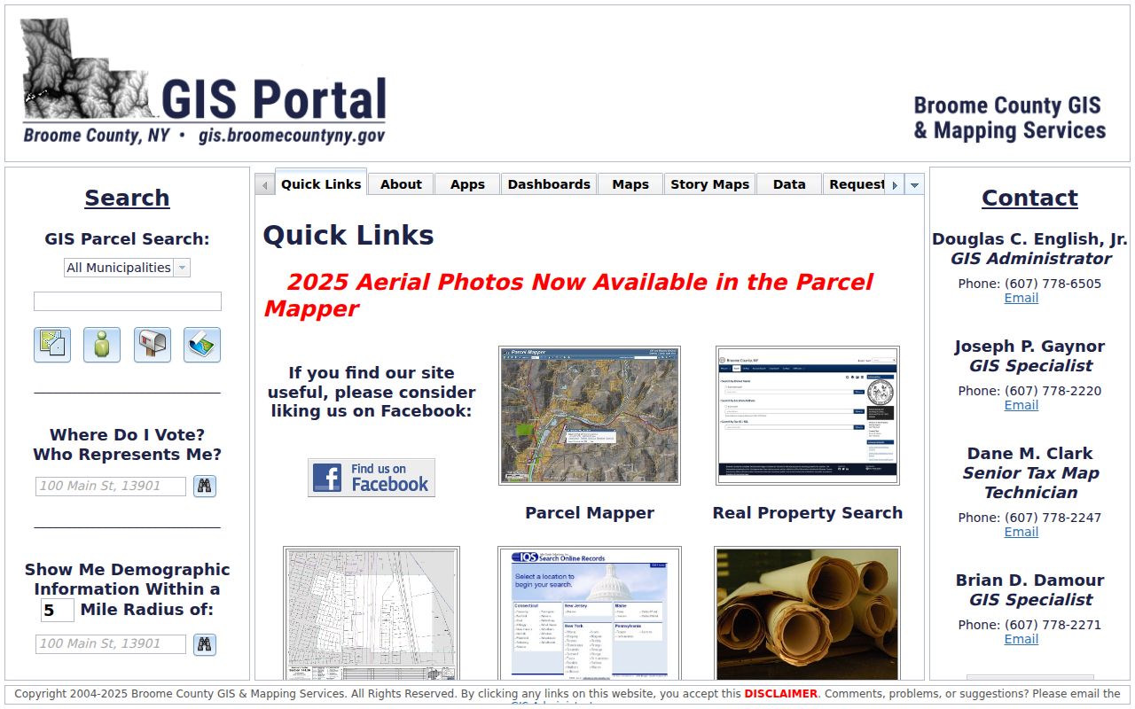
The map-library view supports a careful comparison of tax sheets, atlas pages, and the parcel references carried into later records.
No official source in the research verified a Vestal-wide street-renumbering date, a local house-history guide, or a Vestal Sanborn fire-insurance-map year list. Preserve parcel IDs, tax sheets, atlas and plat references, and deed descriptions instead of guessing that one street number remained unchanged. The Vestal Historian’s records can supply useful local place-name context.
For a visual starting point, the Vestal Historian page points to local history articles, documents, and landmark material.
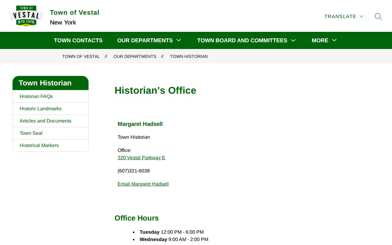
Those local-history leads can help reconcile an older hamlet, depot, parkway, cemetery, or road reference with a current parcel search.
Vestal Past Households in Local Records
Property ownership is only one part of who lived here before. The Broome County Local History & Genealogy Center is the documented local route for census microfilm, maps, printed histories, vertical files, obituaries, and indexes. Its listed Broome census holdings span 1810 to 1930 and include New York state census years. Select a likely household period, identify the address and town or enumeration context, and compare the census entry with the same parcel’s map and deed record.
- Start with a deed or map clue that pins the land to a period.
- Ask BCPL for the applicable census roll or index and record the exact year, place, and address context available.
- Ask whether a city, telephone, suburban, or reverse/criss-cross directory covers Vestal or the Binghamton, Endicott, and Johnson City area for the same period.
- If an address section exists, compare its entry to the census household and the parcel trail. Keep spelling and street-form differences in the notes.
- Use later deeds, maps, and obituaries to test the connection rather than treating a shared surname as conclusive.
The local center does not publish a shelf-by-shelf Vestal directory bibliography or verified reverse-directory run online. Its staff should identify the publisher, volume year, call number, format, and whether a street section exists before a directory is cited. The historical volumes themselves are a separate topic in the Vestal City Directory collections.
Vestal Previous Residents in Newspapers
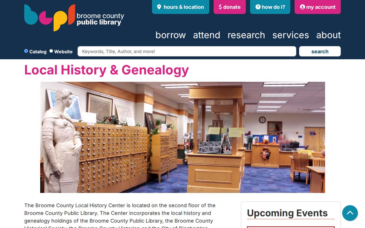
Newspaper and obituary research can close a household trail, but it works best after a date and address have been narrowed. BCPL lists microfilm runs for area titles including the Binghamton Democrat from 1846 to 1903, the Binghamton Daily Republican from 1850 to 1915 with specified gaps, the Binghamton Daily Leader from 1878 to 1905, the Binghamton Evening Herald from 1889 to 1911, and the Binghamton Press from 1904 to 1964. A notice may offer an address, family relationship, sale reference, or date to test against primary records.
The BCPL newspaper microfilm inventory is the starting point for checking a title and date run.
The Center accepts a narrow obituary request with a name and death or burial date. It charges $2 for a file hit; otherwise, a pre-1960 or not-filed search can require microfilm research at $10 per hour plus copies, paid before work. Staff do not compile family lineages or research deeds and probate records outside the Center, so a focused request is more likely to fit the service.
Vestal Previous Resident Boundaries
Use the backward trail for house history, family history, estate questions, and careful record verification. It does not supply a right to track living people or reveal protected information. New York’s Address Confidentiality Program uses a substitute address for eligible participants, and records may also be limited by FOIL privacy rules, court sealing, and vital-record restrictions. Keep the search focused on the property history and request only existing records from the office that holds them.
Lawful use. Vestal previous-residents research is appropriate for a property or family-history question, not for contacting, stalking, harassing, or harming a living person.
A dated permit or planning file can explain a building change without naming every household. Vestal Code Enforcement has forms and a counter route, but the research did not locate a public permit-by-address search. A specific FOIL request to the Town should name the situs address, approximate date, and the existing permit, inspection, certificate, or planning material sought.